
GeoJSON is a widely used format for encoding geographic data, but it can be large and inefficient for web applications, as the data is stored in text format and is all loaded at once from one file. PMTiles is a more efficient format that allows for faster loading and rendering of map data, as it stores data in a binary format and supports on-demand loading of tiled data.
PMTiles is an open standard for storing and serving tiled map data, which is designed to be efficient for web applications. It allows for the storage of vector tiles, raster tiles, and other types of map data in a single file, which can be served over HTTP. Unlike other methods of serving map data, PMTiles dont require complex infrastructure or specialized servers. Instead, they can be served directly from web storage, such as an Amazon S3 bucket, making them easy to use and deploy. To find out more about PMTiles, you can visit the official PMTiles website at protomaps.com.
Mapshifter supports converting GeoJSON files into PMTiles in just a few clicks, thanks to a powerful library called GDAL (more specifically a WASM port of GDAL called gdal3js).
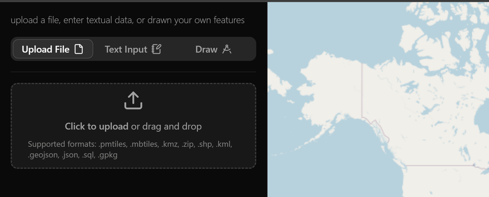
Step 1: Load in your GeoJSON file
Open the Mapshifter map, click Click to upload button and select your GeoJSON file. Mapshifter will automatically load the data and display it on the map.
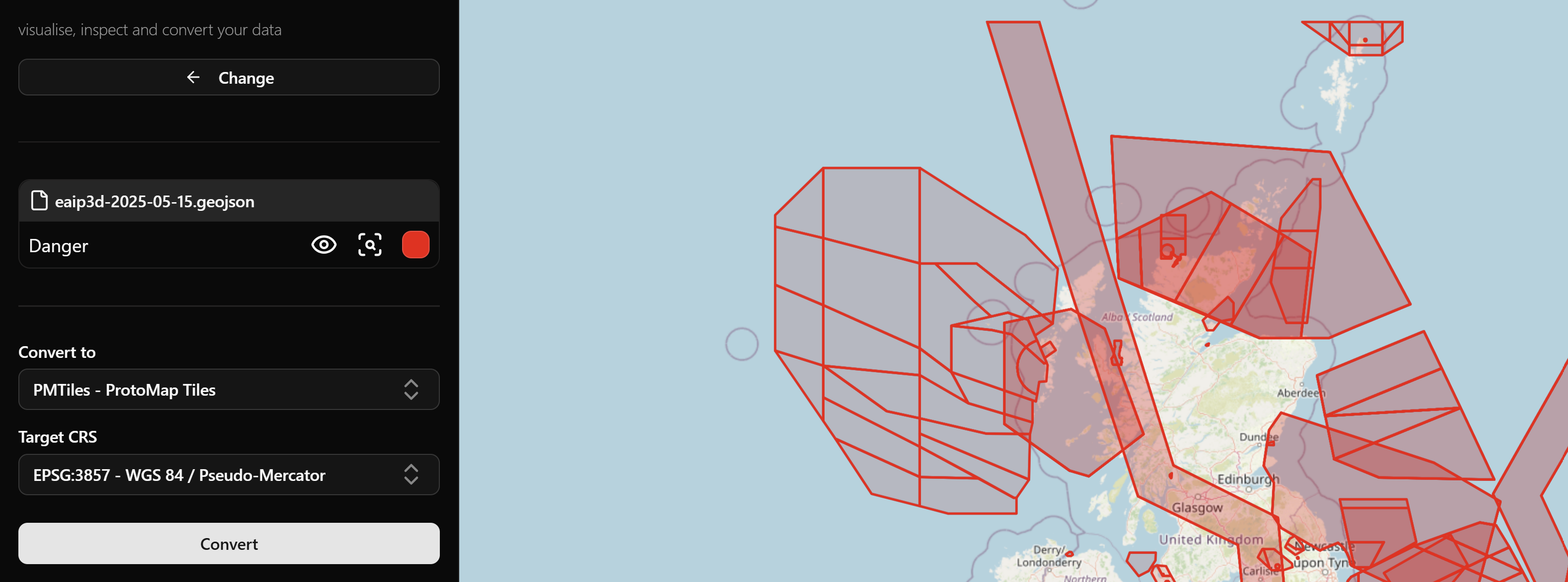
Step 2: Inspect, convert and download
Once your GeoJSON file is loaded, you can inspect your data, select a the PMTiles conversion option, optionally chose a target CRS, then click convert and download.
Optional: Verify your PMTiles file using Mapshifter
If you want, you could load the newly created PMTiles file back into mapshifter to visualise it's contents to verify that the conversion was performed correctly.
To do this, click the Change button at the top of the sidebar, then follow the process in step one for the newly created PMTiles file.