What does Mapshifter do?
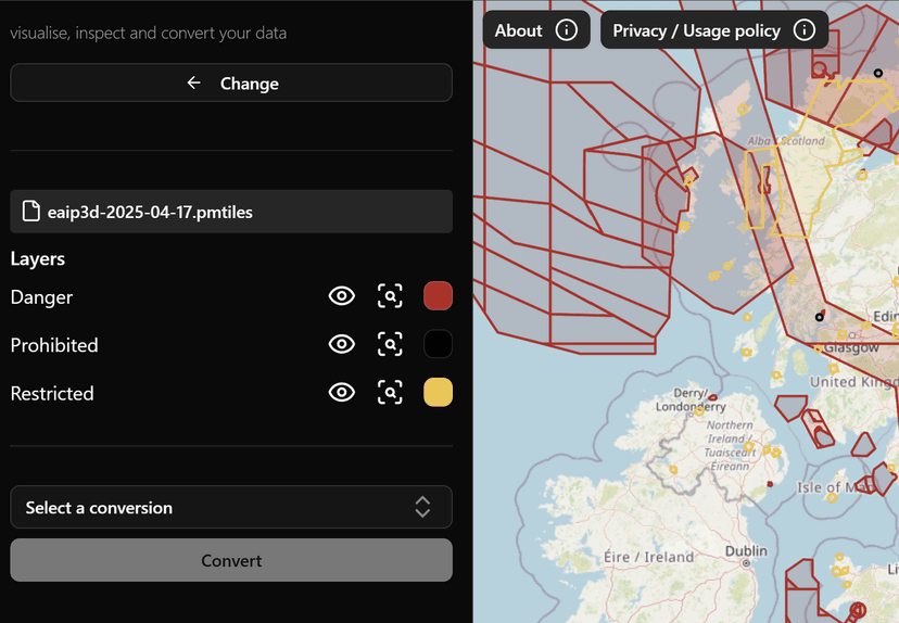
Mapshifter is an easy to use web application that allows you to:
- Upload files containing geospatial data in various formats.
- Visualize that data on interactive maps.
- Transform geospatial information into another coordinate reference system or a different file type.
How does Mapshifter work?
Mapshifter uses a combination of open-source libraries to process and visualise your data, including GDAL, OpenLayers. All the processing happens in your browser, meaning your data stays with you - Read more about the tech stack here.
Some limitations:
Mapshifter is intended for small datasets and currently only supports vector data. The idea is that it is quick and easy to use for proof of concept work experimenting with different data formats. It is also created and maintained by a single developer as a free to use side project, so may be a bit rough around the edges.
For more serious data processing you might want to use something like QGIS or download GDAL and use it on your own machine directly